


What Is Lake Mapping and Surveying - And What's the Point of It?
As a decision-maker for an HOA, golf course, or municipality, you know that lack of planning often leads to sudden mishaps that wreak havoc on your budget. But in order to properly plan for future needs, like a new roof or parking lot, you need to have as much information as possible to inform your timeline and approach. With water resources, this can be challenging; in order to make the right choices, you need to have a clear picture of what’s happening below the surface.
Aquatic experts use a variety of lake surveying and mapping techniques to unearth a wealth of knowledge for your planning needs. Each method of mapping – vegetation, bathymetric, and sedimentation/hardness mapping – provides unique insights that allow you to assess areas of your waterbody that may have gone unnoticed and been nearly impossible to calculate into your budgeting and decision-making processes.
How does lake mapping work?
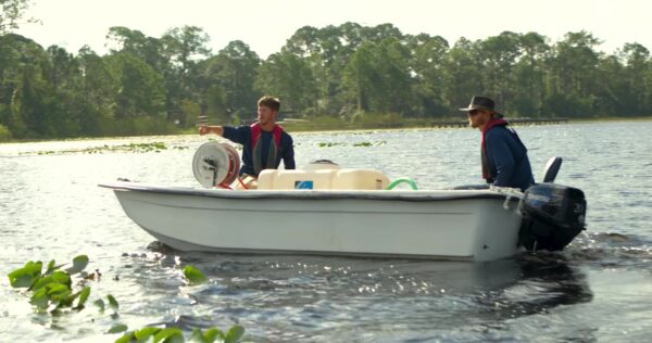
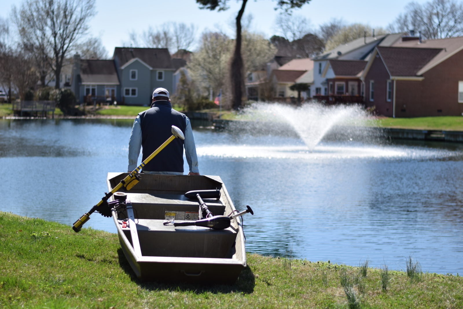
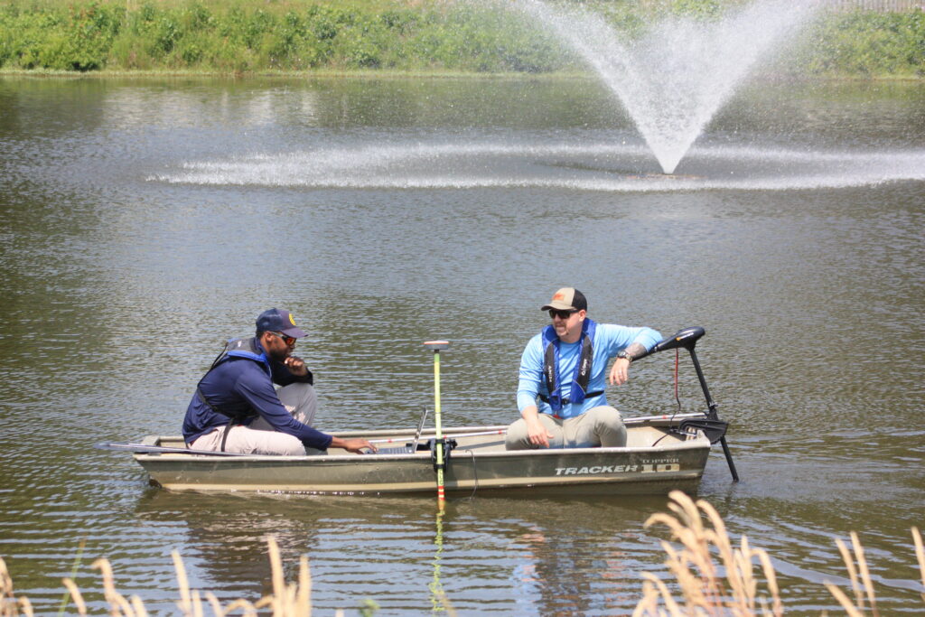
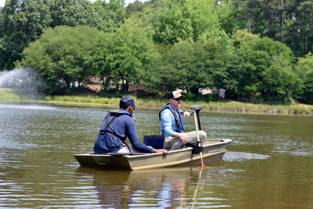
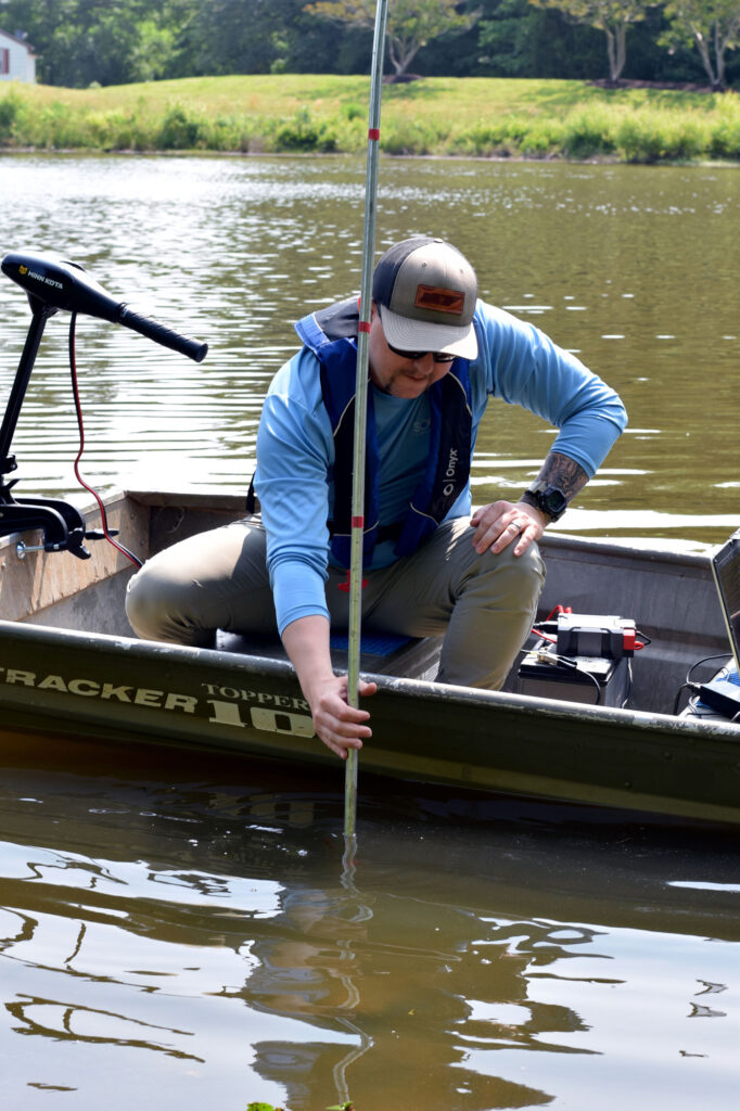
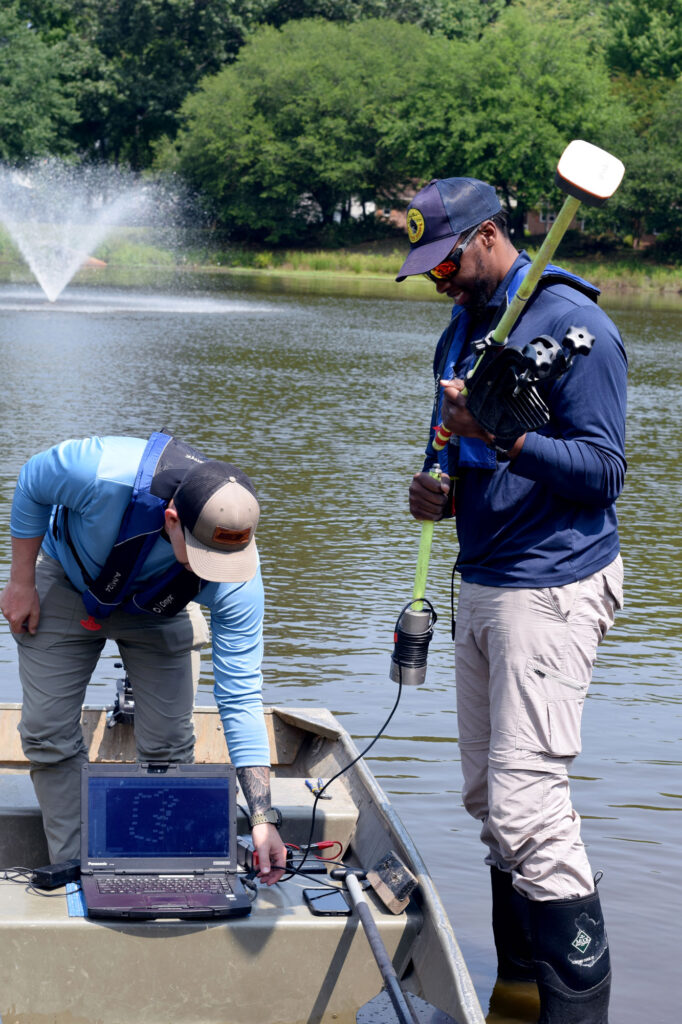
During lake mapping, a trained expert operates a boat equipped with GPS units and depth-sounding equipment to survey the entirety of the waterbody. The survey starts at the perimeter and then works back and forth across the lake body, assigning waypoints that are correlated with depth, vegetation, and sedimentation to provide accurate and detailed reporting. Once this assessment is completed, its data is extracted to create easy-to-read informational maps detailing the location and levels of the lake’s depth, vegetation, and sedimentation.
Typically, three types of maps are provided to you at the conclusion of your lake survey:
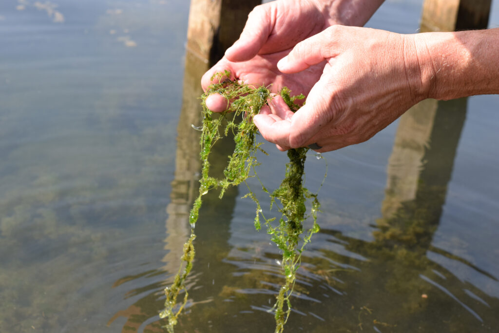
1. Vegetation Mapping: Surveying Lake Plants, Algae, and Invasive Weeds
Lake vegetation mapping illustrates the placement and density rates of native littoral, shoreline, and submerged / underwater plants, as well as algae and invasive weeds – all of which can reach nuisance levels that impede recreational activities and create unsightly, difficult-to-manage backdrops that make your job harder.
Vegetation levels can be shown on a sliding scale depicting the percentage of growth coverage in a particular water column (a section of water that runs from the water’s surface to the bottom sediment). From there, a professional analyzes the collected data to identify the areas that should be managed and determine the most efficient solution to do so depending on the stakeholder’s unique water management goals.
Some of the benefits of lake vegetation mapping include:
- Locating and learning more about aquatic plants that are present
- Determining density levels of both native and non-native species
- Monitoring for invasive species and putting in place measures to help prevent algae blooms
2. Bathymetric Mapping: Surveying Lake Depths and Contours
Lake depth / bathymetric mapping utilizes GPS integrated with depth-sensing technology to chart lake bottom contours and volume levels. This information is crucial to fully understand water quality conditions, select management approaches for aquatic plants and algae, and develop accurate estimations for fish stocking.
Some of the benefits of lake bathymetric mapping include:
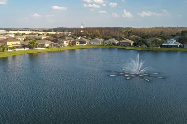
- Properly choosing, sizing, and placing a fountain or aeration system
- Mapping the waterbody for boat navigation, fish restocking, and more
- Using volume levels to select weed and algae management products that align with EPA regulations
3. Sediment Hardness Mapping: Analysis for Removal and Dredging Planning
It is critical that you remain up to date with the structural integrity of your waterbody’s floors and perimeters, as well as monitor and map its habitat parameters. Sediment analysis allows you to determine the level of sedimentation, which is the accumulation of organic and inorganic matter often in the form of grass clipping, leaves, animal waste, litter, and fertilizers. By understanding the rate that your waterbody is filling in, it’s possible to calculate a timeline and budget for future sediment removal services like dredging to restore the original depth and volume.
Some of the benefits of lake sediment hardness mapping include:
- Planning and budgeting for sediment removal/dredging
- Determining the stability and composition of lake bottoms for structures such as docks
- Proactively budgeting for dredging to avoid costly, unforeseen expenditures
Find the Right Partner for Lake Mapping
Successful surveying, mapping, and bathymetry projects require a trained professional with the necessary equipment and experience in data analysis. When looking for a mapping partner, it’s important to find one that focuses on catering to your unique needs and goals, and places an emphasis on using science-based techniques and technologies to do so.
The right partner is dedicated to helping you interpret the data, and understand the management options available to you to prevent weeds, algae, and sedimentation, which might include buffer management, shoreline restoration, biological bacteria, nutrient remediation, aeration, and more. With the right data at your fingertips, you can establish yourself as a capable, reliable decision-maker for your business or community.
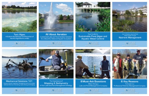
Watch Our Educational Videos
Explore our lake and pond management solutions and educational videos below!


SOLitude Lake Management is a nationwide environmental firm committed to providing sustainable solutions that improve water quality, enhance beauty and preserve natural resources.
SOLitude’s team of aquatic scientists specializes in the development and execution of customized lake, stormwater pond, wetland and fisheries management programs. Services include water quality testing and restoration, algae and aquatic weed control, installation and maintenance of fountains and aeration systems, shoreline erosion control, muck and sediment removal and invasive species management. SOLitude partners with homeowners associations, golf courses, private landowners, businesses and municipalities. SOLitude Lake Management is part of Rentokil, a leading business services company, operating across the United States, Canada and Puerto Rico.
For more information, visit SOLitude Lake Management at solitudelakemanagement.com, and connect on Facebook, LinkedIn and Twitter.