


Utilizing Bathymetric Data to Manage Your Pond
Stormwater ponds play a vital role in our communities, but we often take them for granted. When functioning properly, we don’t give much thought to where rainwater goes during storms or the quality of the water. It’s not until problems like flooding, aquatic weeds, toxic algae, muck, and bad odors arise that we start wondering about the longevity of these waterbodies. How can we ensure they remain healthy and functional well into the future?
Lake and Pond Eutrophication
It’s important to understand that these problems are symptoms of eutrophication. Eutrophication occurs when ponds accumulate excess nutrients from sediment, debris, and other materials, leading to a loss of depth and volume over time. Weeds and algae flourish in these nutrient-rich environments, worsening the degradation of the aquatic ecosystem.
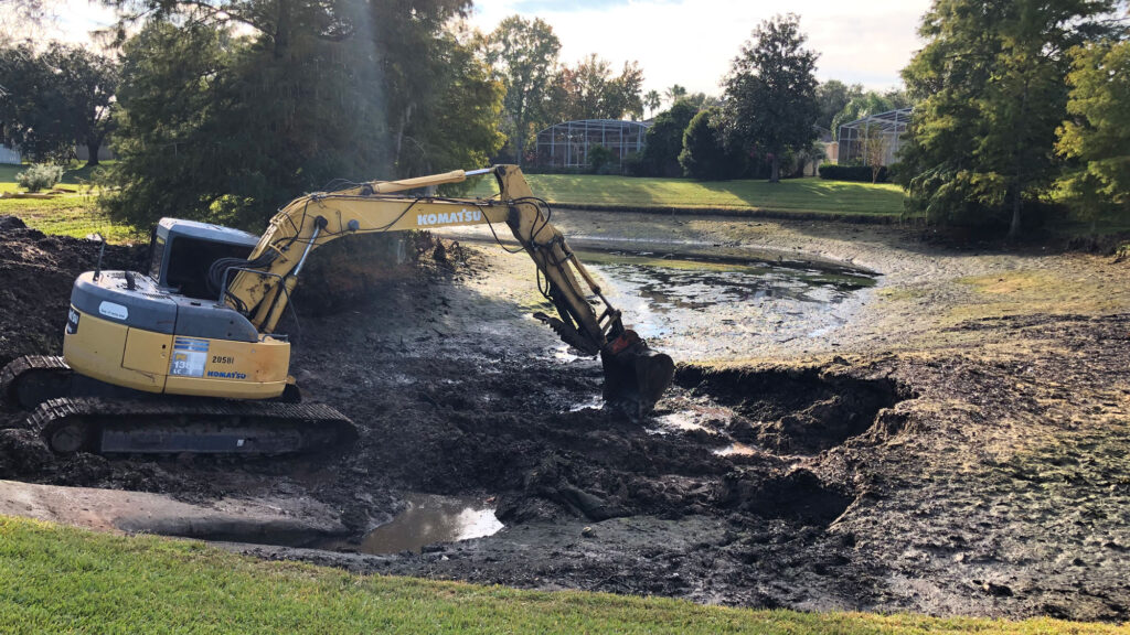
Without intervention, dredging becomes necessary to remove thousands to millions of pounds of sediment and restore the waterbody’s original holding capacity. Eventually, all ponds will require dredging; however, the cultural impacts from urban development, agriculture, and pollution can shorten the functional lifespan of a waterbody. Dredging is a major maintenance expense for communities and homeowners, but careful planning and budgeting can help alleviate the financial burden. Bathymetry is a vital yet often overlooked tool for predicting when dredging will need to take place.
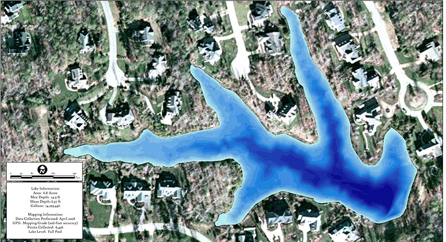
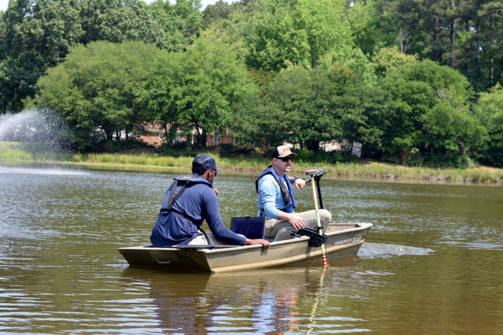
What is bathymetry?
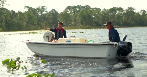
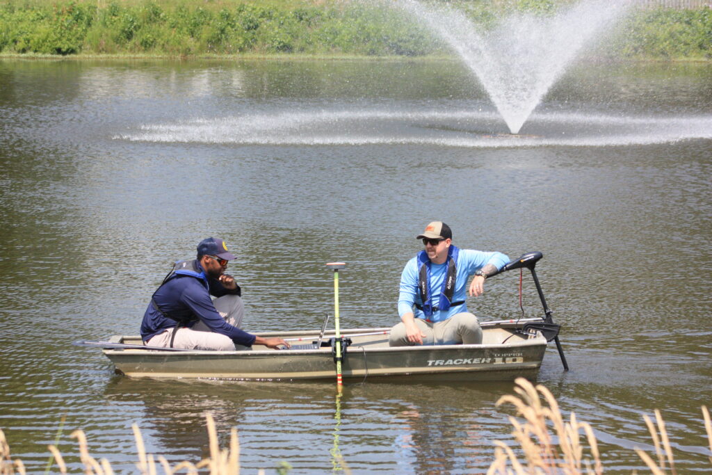
Bathymetric mapping provides valuable insight into the volume of the pond and how its topography changes over time. In particular, this mapping technique is useful for sediment distribution and measuring sedimentation rates, allowing pond management experts to calculate an accurate timeline for future dredging – and strategize preventative measures to prolong the need for as long as possible. Mechanical hydro-raking, for example, can be used for spot treatments in areas with higher rates of sedimentation or near docks and stormwater intakes. Shoreline restoration and vegetative buffers can further reduce sedimentation and prevent external pollutants and debris from flowing into the waterbody during rainstorms.
How Data Can Help Drive Decision Making
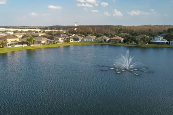
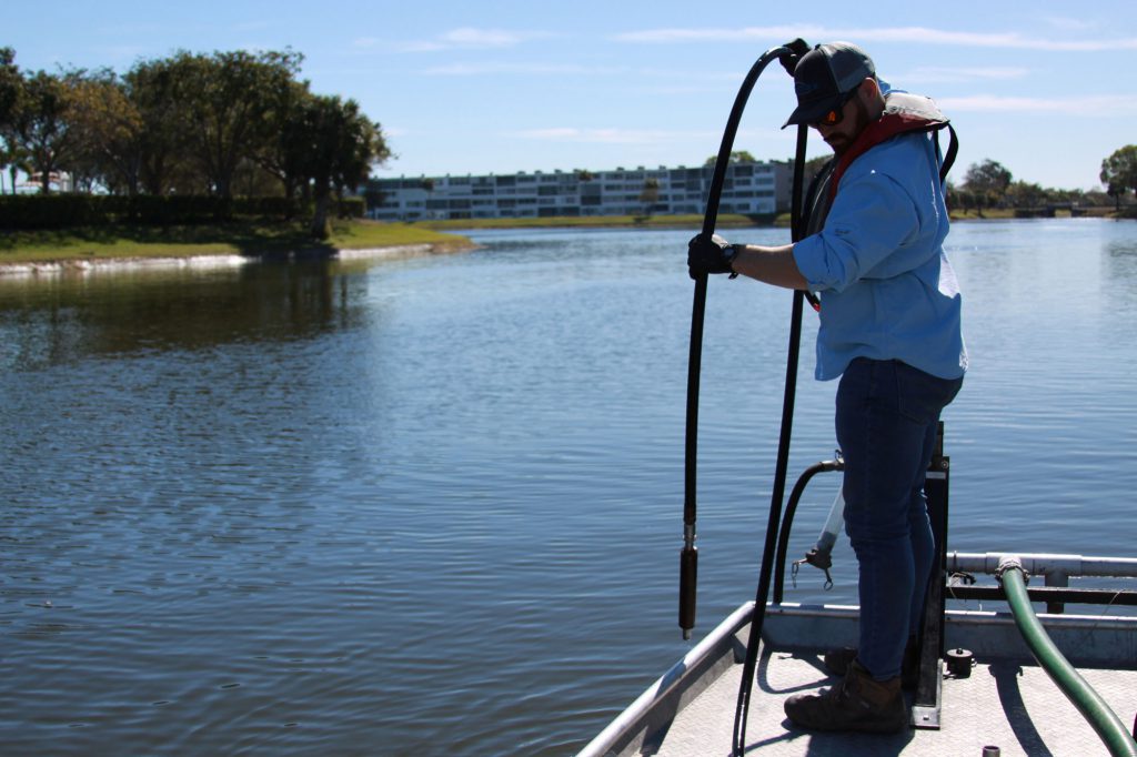
Understanding water circulation patterns, mixing zones, and thermal stratification is also essential for managing overall water quality conditions. Alongside water quality testing, mapping can aid in understanding the unique characteristics of the water column, helping professionals identify areas of stagnant water or low oxygen levels. By utilizing this data, appropriate measures can be taken to improve circulation through the strategic placement of fountains or aerators for maximum circulation and oxygenation.
Bathymetric Mapping for Effective Lake Management
Bathymetric mapping is not just used to predict dredging needs; professionals often use topographic data to identify potential blockages or damage to underwater infrastructure, determine ideal spots for fish cover placement, and pinpoint areas that may be more susceptible to submersed weed growth. This information can inform management decisions, such as the application of nutrient remediation products like Phoslock, Alum, or EutroSORB to promote balanced water quality conditions that are less hospitable to nuisance growth.
Experience the Benefits of Professional Lake Management
Ultimately, no waterbody is immune to eutrophication. It is a natural part of a waterbody’s life cycle; however, urban development, agriculture, poor landscaping practices, pollution, and other human influences are accelerating this process. In addition to personal efforts like reducing fertilizer use, disposing of pet waste and trash, and bagging yard debris, proactive annual management plans can go a long way in slowing the deterioration of our water resources and give community associations and private homeowners more time to budget for dredging.
With the support of a professional pond management partner that prioritizes water quality testing, bathymetric mapping, and other advanced technologies, stakeholders can rest assured that there will be no surprise pond expenses in the future.
Watch Bathymetric Mapping In Action
SOLitude Lake Management is a nationwide environmental firm committed to providing sustainable solutions that improve water quality, enhance beauty and preserve natural resources.
SOLitude’s team of aquatic scientists specializes in the development and execution of customized lake, stormwater pond, wetland and fisheries management programs. Services include water quality testing and restoration, algae and aquatic weed control, installation and maintenance of fountains and aeration systems, shoreline erosion control, muck and sediment removal and invasive species management. SOLitude partners with homeowners associations, golf courses, private landowners, businesses and municipalities. SOLitude Lake Management is part of Rentokil, a leading business services company, operating across the United States, Canada and Puerto Rico.
For more information, visit SOLitude Lake Management at solitudelakemanagement.com, and connect on Facebook, LinkedIn and Twitter.