


Bathymetry: Maintaining the Beauty of Your Lake or Pond
Dredging, the process of removing sediment and debris from lakes and ponds that builds up naturally over time, presents challenges to homeowners associations. Maintaining the environment of an association’s lake or pond provides for an overall better experience for residents and helps to increase the natural beauty of a body of water. Kevin Tucker, founder of SOLitude Lake Management, which provides lake and pond management, fisheries management, and related environmental services for the Eastern United States, discussed the process of dredging and the first step of a solution, bathymetry, for homeowners associations.
According to Tucker, the costly process of dredging occurs from sediment, grass clippings, leaves, fertilizer, other organic matter, and pollutants contained in stormwater settling to the bottom of these bodies of water. When stormwater is left unmanaged and these sediments build-up, the need for it to be dredged becomes pressing because these ponds and lakes cannot function properly with it.
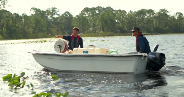
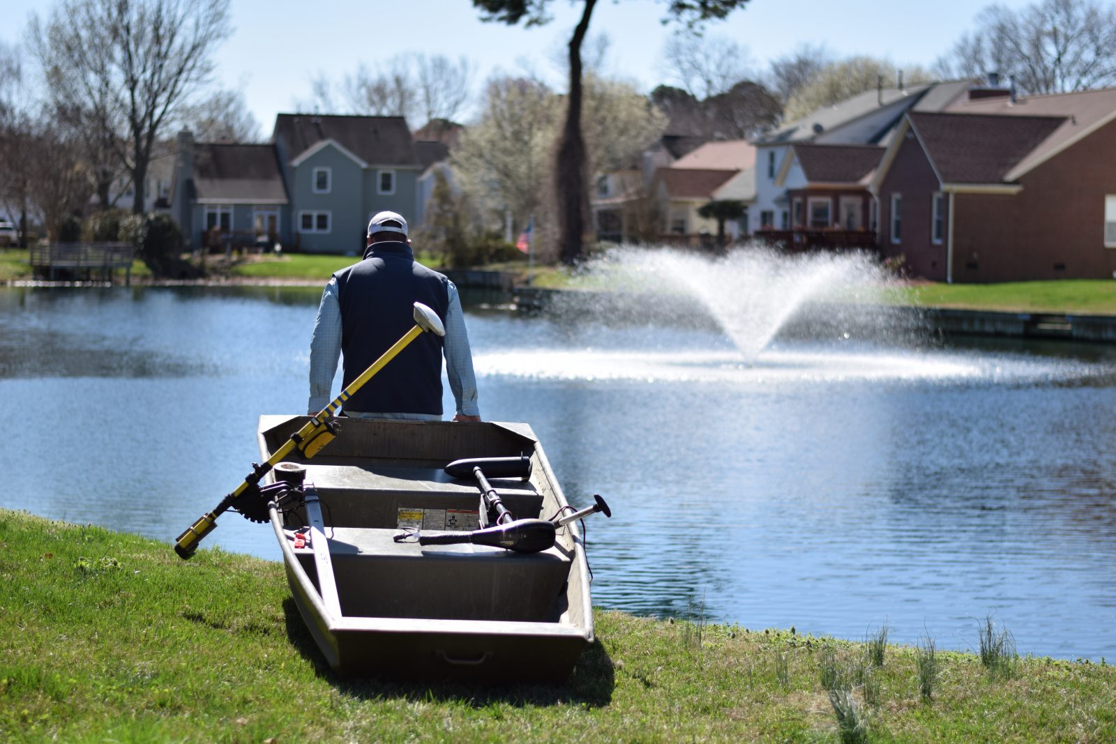
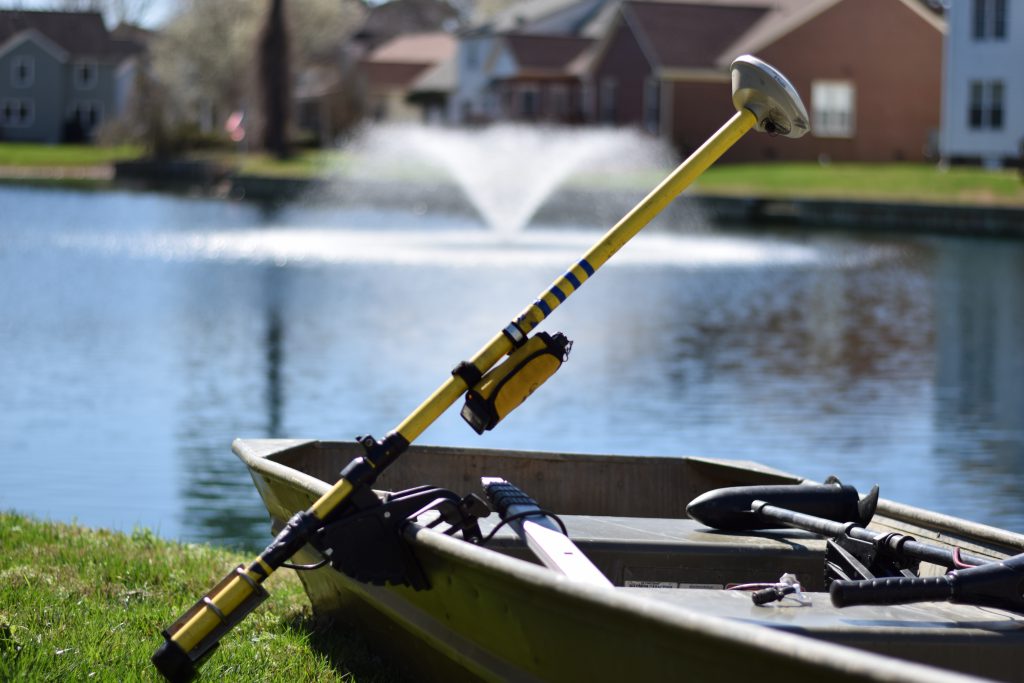
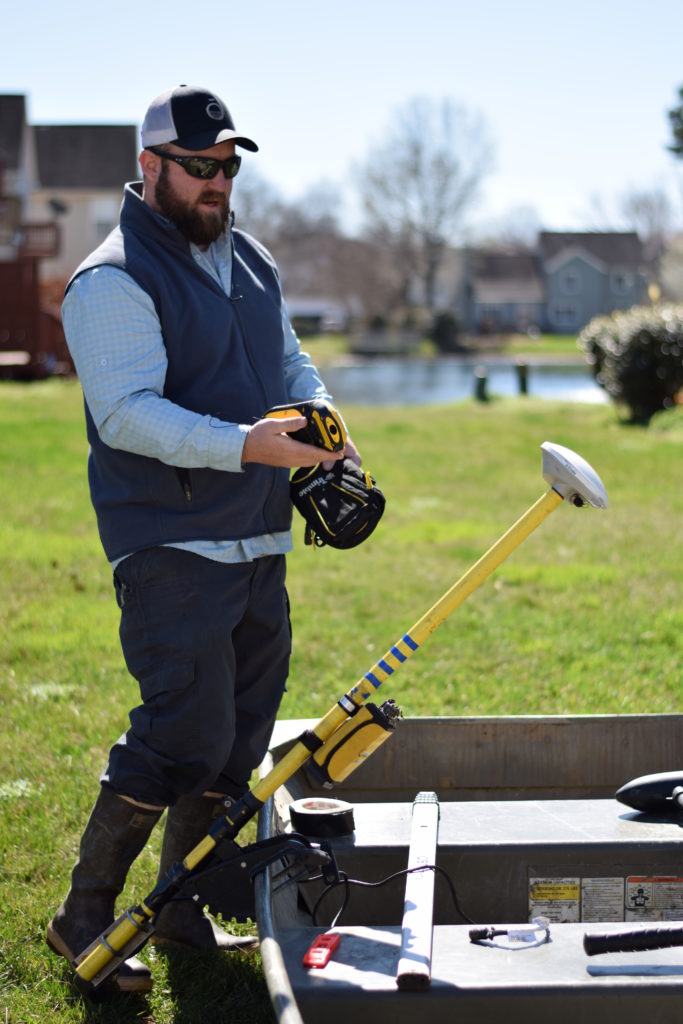
Therefore, bathymetry becomes necessary to the maintenance of the lake. As Tucker described, bathymetry involves the plotting of the surface of a lake or pond using GPS technology and associating depths to each of these points. To begin mapping a lake or pond, a boat is rigged with the aforementioned GPS and depth-sounding technology and launched into the water. Depending on the size of the waterbody, the actual tracking process could take anywhere from hours to days. Using this collected information to produce a three-dimensional model, Tucker explained that this technology can then quantify the current maximum storage capacity of the lake or pond, which can be used to determine how much space has been displaced as a result of sediment collection.
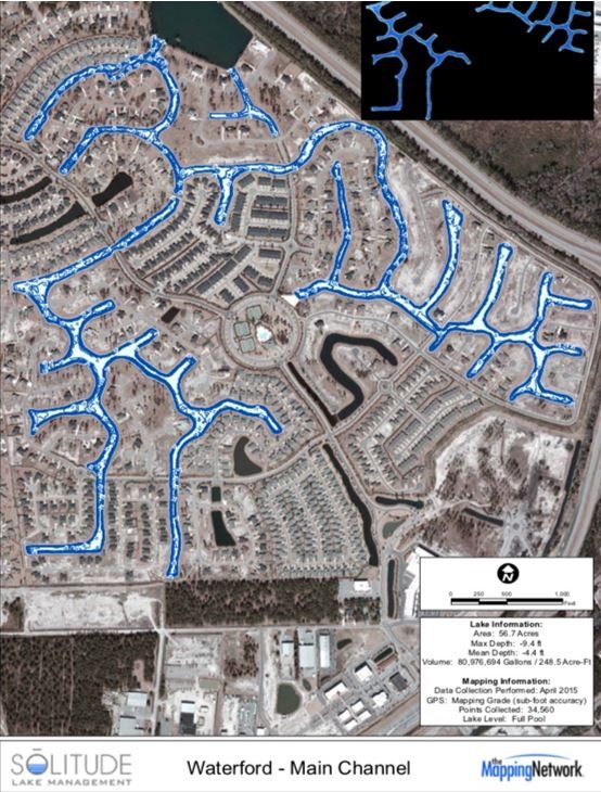
“Once this information is known, it is very easy to get specific cost estimates for dredging, as you will know the exact amount of material that needs to be removed,” Tucker said. Bathymetric data can also be used for future planning, Tucker stated, if the information collected does not necessitate immediate action. He also explained that, once this information is collected, you can look at the age of the body of water to determine the annual sedimentation rate, further allowing for better planning. Tucker says that understanding the size of the body of water, the sedimentation rate, and the amount of sediment already accumulated helps homeowners plan for when dredging will be necessary. Associations can then budget accordingly.
“Bathymetry provides community managers and boards with powerful information with which to manage their stormwater lakes and ponds, and most importantly, it provides them with the tools they need to quantify and plan for what will, in many cases, be the single most costly expense the community will ever face,” Tucker said.
Tucker warned that even if the lake or pond looks good on the surface, that does not mean that everything is fine underneath. “The more shallow it becomes, the more likely you will have algae, nuisance vegetation, and other water quality problems,” he said. Tucker also explained that local, state, and federal regulations require communities to maintain stormwater ponds. The failure to do so can result in violations and sometimes even penalties. He also warned that waiting too long to dredge or assess the situation may result in more costly dredging than is available in the budget of homeowners associations.
Tucker recommended that a bathymetric study be performed every three years on average. He further noted that bathymetry can be carried out less frequently if the body of water is relatively stable. If erosion or upstream sediment is a known concern for the area, he recommended that upkeep be performed more often than every three years. In terms of upkeep, Tucker said, “No budget or replacement reserve planning is ever complete for those communities with lakes or ponds if they do not perform bathymetry on a periodic basis.”
Who We Are
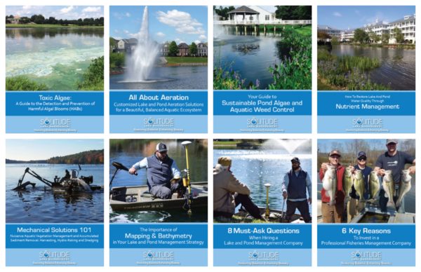
SOLitude Lake Management is an environmental firm committed to providing full service solutions that improve water quality, enhance beauty, preserve natural resources, and reduce our environmental footprint. Our services include lake, pond, wetland and fisheries management programs, algae and aquatic weed control, mechanical harvesting, hydro-raking, installation and maintenance of fountains and aeration systems, water quality testing and restoration, nutrient remediation, bathymetry, lake vegetation studies, biological assessments, habitat assessments, invasive species management and nuisance wildlife management. Services, consulting and aquatic products are available to clients nationwide, including homeowners associations, multi-family and apartment communities, golf courses, commercial developments, ranches, private landowners, reservoirs, recreational and public lakes, municipalities, parks, and state and federal agencies. Learn more about SOLitude Lake Management and purchase products at www.solitudelakemanagement.com.