


Lake Mapping and Bathymetry | Success Stories and Case Studies
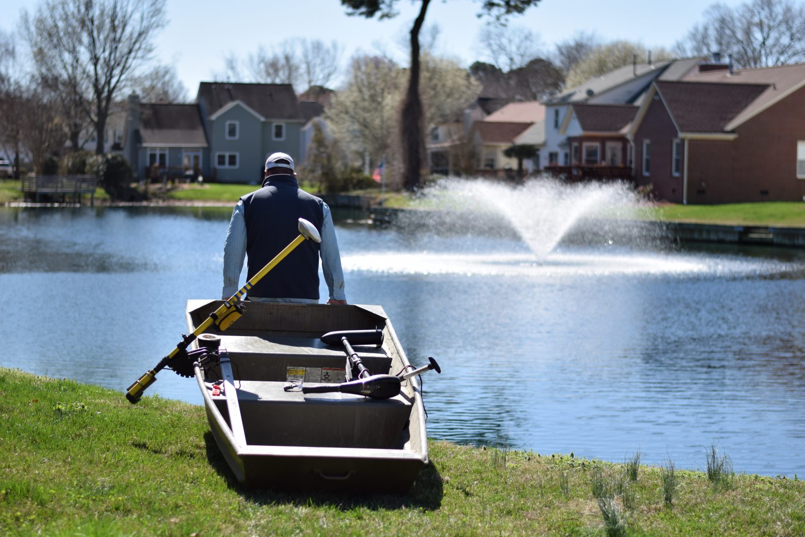
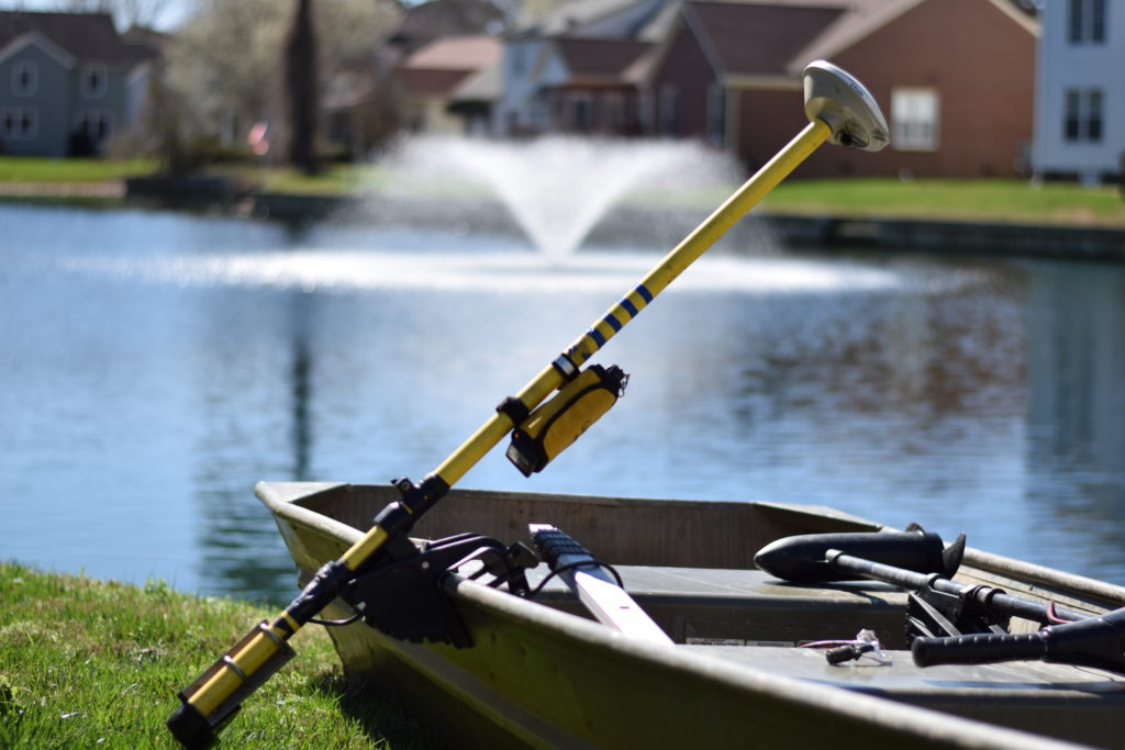
Effective lake and pond management strategies cannot be executed without looking below the surface of the waterbody. Lake mapping technology allows you to gain a better understanding of your waterbody’s characteristics, such as surface area, depth, and levels of sediment buildup. With the detailed data from this technology, our mapping specialists are able to create an accurate management plan that will cater to your waterbody’s unique needs.
Below are case studies highlighting a few of our success stories involving lake mapping and bathymetry projects.
Mapping A Community Canal | Leland, NC
This property in the Carolinas is a residential community located in Leland, NC. The ~500-acre development currently has around 1,000 single-family homes within its confines. The waterbodies within the community consist of a 56.7-acre canal system that runs behind many of the homes, an 11.2-acre lake, and eleven other small ponds…
Restoring Water Quality at Lake Lake | St. Petersburg, FL
This property is a 14-acre lake located in St. Petersburg, on the western coast of Florida. In January 2012, the HOA contacted SOLitude Lake Management to request assistance with multiple lake issues including bad odors, dead fish and other wildlife, and green murky water. The following is a summary of the initial evaluation, execution of the management plan and ecological restoration of the lake over an 11-month period…
Bathymetric Study of A Large Lake | Tamassee, SC
This waterbody is a 162.7-acre lake in western South Carolina. Many of the homes surrounding the lake are second homes with very few residents living on the lake year-round…
Contact us at 888.480.5253 to find your lake, stormwater pond, wetlands or fisheries management solution!