


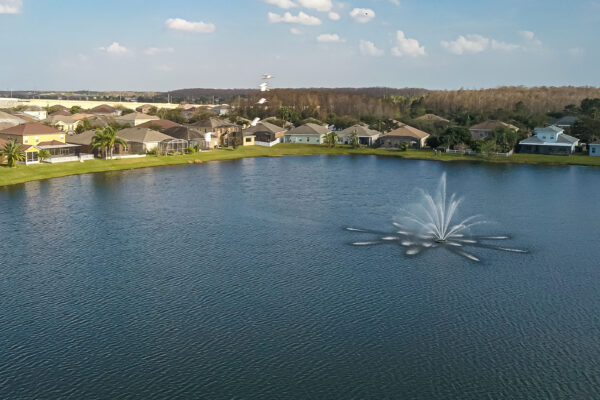


A lake or pond seems serene and effortless to maintain, but under the surface is a dynamic organism requiring expert knowledge to produce a perfect balance. To fully enjoy your waterbody, it is essential to know the facts for making the best lake and pond management decisions: exact acreage, depths, chemistry, etc. Armed with this knowledge you will be able to properly place structure, deliver appropriate fish stocking densities, select the correct fish species, apply the right amount of aquatic weed control product, and of course gain a better idea where those bass may be hiding! An accurate GPS lake map provides the information needed to make the most of your aquatic resource.

A Nationwide Team of GPS and Lake Management Experts
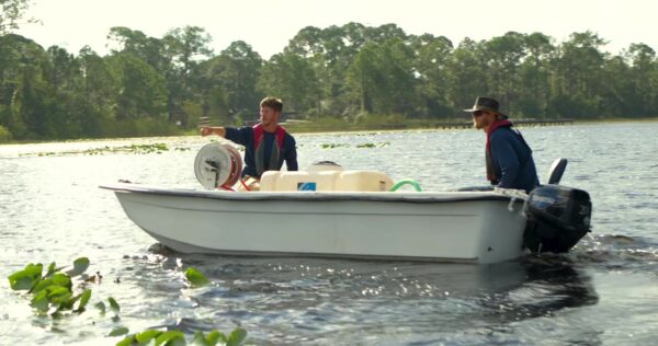
A local expert aquatic service provider understands the dynamics of a lake to determine the best transect paths to precisely model the lake’s bathymetry. Fusing the latest technology trends in GIS and GPS lake mapping along with highly trained graphical professionals, a bathymetric map of your body of water will be amazingly accurate and also aesthetically enjoyable.
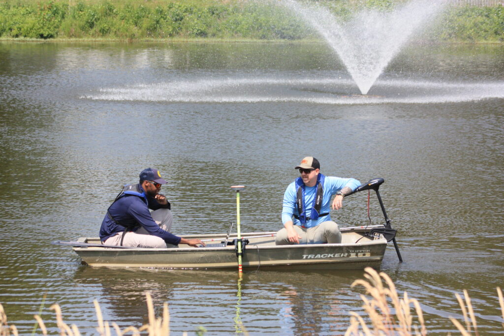
On Site GPS Data Collection
Mapping methods developed by The Mapping Network combine the most accurate GPS mapping and Sonar technology. Our mapping system collects a 3-dimensional point every two seconds over any body of water with sub-foot accurate location equipment and depth accuracies of up to 1/10th of a foot. Once the data is collected in the field it is processed with customized software programs to craft the most advanced bathymetric maps available today.
Data Output Options
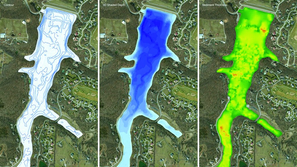
Contour Map: With unmatched detail, a contour map custom-created by SOLitude Lake Management and The Mapping Network will provide you with the information needed to fully understand volume and the characteristics of your lake or pond.
3D Bathymetric Map: A 3D bathymetric map created using The Mapping Network technology provides the ability to easily visualize the environment beneath the water line.
Sedimentation Map: Sediment buildup in lakes and ponds is inevitable and the costs associated with removing this material are extensive. Knowing where pockets of high sedimentation are located and the thickness of these deposits allows decision-makers to make educated assessments and plan for the future. Lake maps provide managers/owners the ability to more precisely locate problem areas, estimate sediment volume and accumulation, and monitor sedimentation levels over a given amount of time to determine if dredging is needed.
Printing Options: Each map project is individually produced with attention to detail and excellent customer service. Clients have several options for the final map including hard copies, digital data, PDFs, and web applications for viewing. Custom printed maps range from letter size to large format wall maps. There are several options for the final printing including standard paper, waterproof tough paper, glossy photo-based paper and lamination. No matter the mapping project, SOLitude Lake Management and The Mapping Network provide the expertise to provide you with the final product best suited for your needs.
Virtual Media: Utilizing unmatched detail, a virtual Swim-Through of your lake or pond created utilizing The Mapping Network technology will convey a new way of understanding your resource. These videos provide our clients an amazing 3D visualization of their asset – the ability to reveal this unseen, underwater world.
The Time to Map is Now!
Lakes can be mapped throughout the entire year. An accurate lake map provides the information needed to make the most of your aquatic resource. If you are serious about maintaining a high-quality lake or pond, be sure you have the ability to make the best decisions, get your lake mapped by the professionals.