

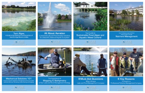


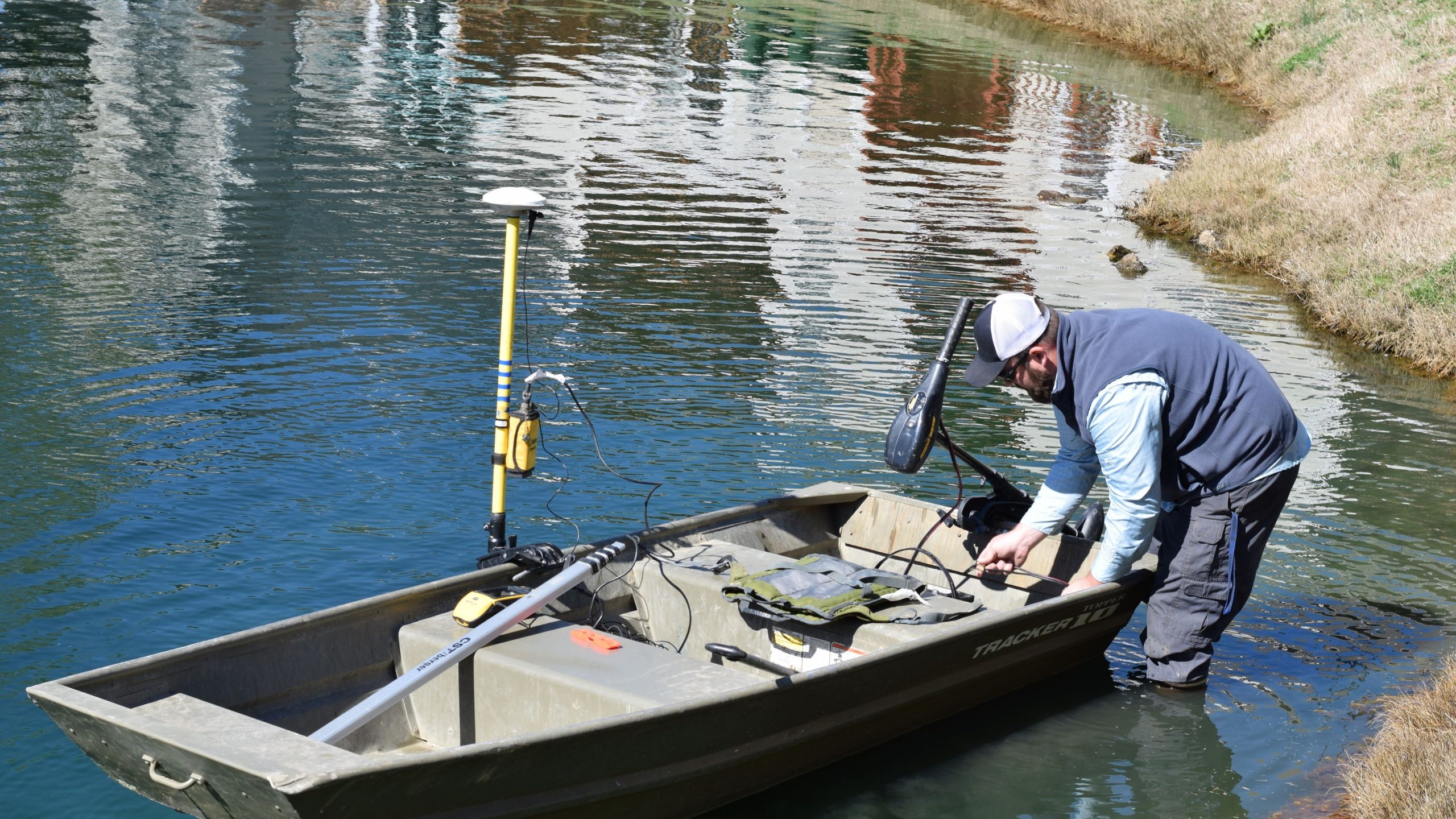
Do you own or maintain property with a natural or man-made body of water? No matter where you live, or what time of year, if you enjoy nature you no doubt try to take in leisurely strolls around the area lakes. While ponds and lakes offer an aesthetic beauty to any tract of land, it’s important to make certain the water and surrounding areas are properly cleaned and maintained. This means more than just picking up discarded trash around the border and checking for insects and waterfowl. One must go deeper – literally and figuratively. GPS lake mapping can help!
Applying GPS technology to lake and pond management helps in the maintenance and overall environmental health of your property. The more you know about what is happening in your lake, the better for you to discern and solves problems as they arrive. If you are unable to handle full management of your waterbody on your own, hiring a professional service to take care of lake mapping is a must if you want to keep pollution and health hazards off your property.
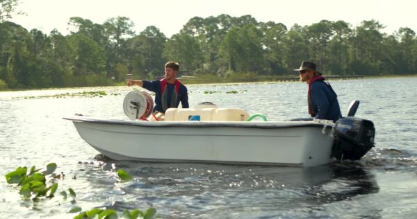
How will your property benefit from this technology? Take a look at the work involved in GPS mapping: Lake Vegetation Mapping – Are there plants in your pond that shouldn’t be there? Mapping explores the vegetation in your lake to determine if it is hazardous to the environment. Bathymetric Mapping – Know the true depths of your water with bathymetry, especially if your lake is large enough to be navigable. Sedimentation Analysis – It’s important to know the structural integrity of your lake’s floors and borders, and how much vegetation and aquatic life it can sustain. Dredging Planning – Stagnant water breeds trouble – insects and pollution. Before you dredge and aerate, you must map to know where to get the job done. For the best results with your lake mapping service, it’s best to consult with a lake management company equipped with the very latest in GPS surface mapping, bathymetry, 3-D contour imaging, aerial and fly-over video resources and virtual underwater swim-view 4-D mapping. With this knowledge, you can add layers of depth to the information you seek to maintain a beautiful lake.