

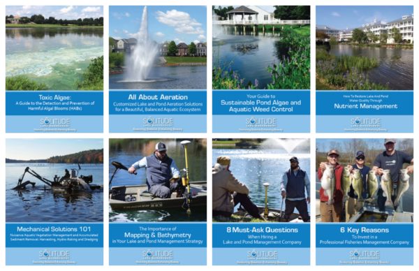


Bathymetry, GPS Surface Mapping and More
As the lake and pond management industry leader, SOLitude Lake Management offers the most technologically advanced lake mapping services available on the market. Providing the most detailed and highest quality mapping products you can buy, for a very affordable price, SOLitude Lake Management is proud to be designated by the Mapping Network as an exclusive Lake Mapping Partner.
Equipped with the very latest in GPS surface mapping, bathymetry, 3-D contour imaging, and aerial and fly-over video resources, we are able to add layers of depth to the information our customers seek. Whether you are tracking sedimentation, planning for dredging, looking to improve your fishery, or simply looking to understand the overall size, volume and bottom contour of your pond in order to make good management decisions, we have the tools you need to be successful:
- Lake Mapping and Studies
- Aquatic Vegetation Mapping
- Bathymetric Mapping
- Sedimentation Analysis
- Dredging Planning
- Lake Monitoring
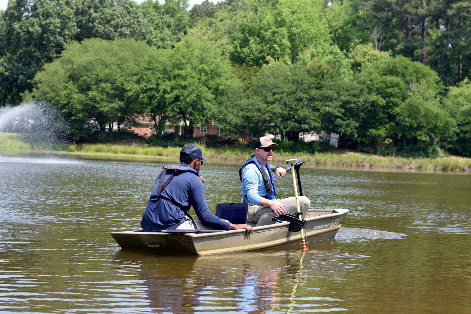
Uncover What's Below the Water's Surface with Lake Mapping
Understanding the exact surface area of your waterbody is one of the first steps in developing a lake or pond management plan. Surface mapping utilizes GPS software and satellite imagery, which enables a SOLitude specialist to determine a waterbody’s surface area. It’s also important to identify the locations of the physical and structural components of your waterbody, such as inlet and outlet structures, fountains, aeration systems, and fish habitats.
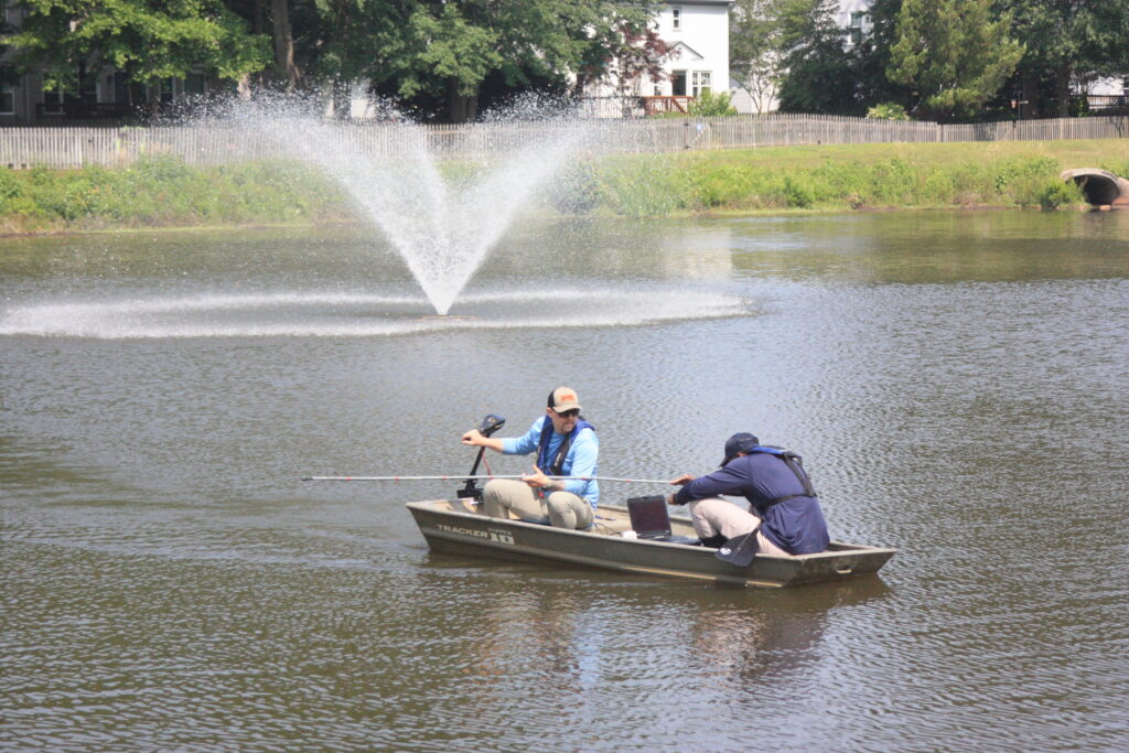
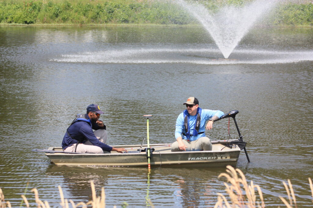
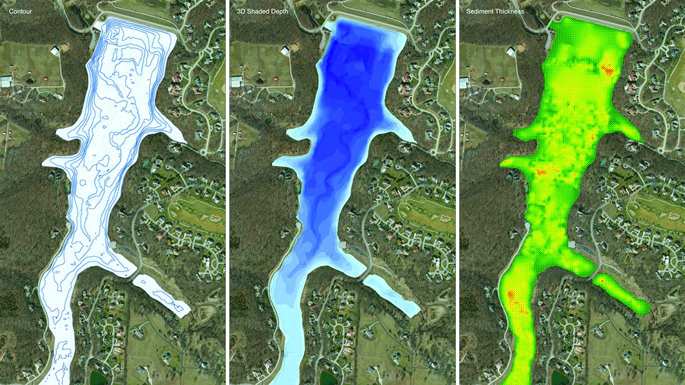
Bathymetric Studies
Bathymetric mapping involves the use of integrated GPS and depth-sensing technology to create a three-dimensional model of your waterbody. As a result, this model has detailed bottom contours and highly accurate volume calculations. This information is vital to managing water quality, aquatic plants, algae and other aquatic life in your ecosystem.
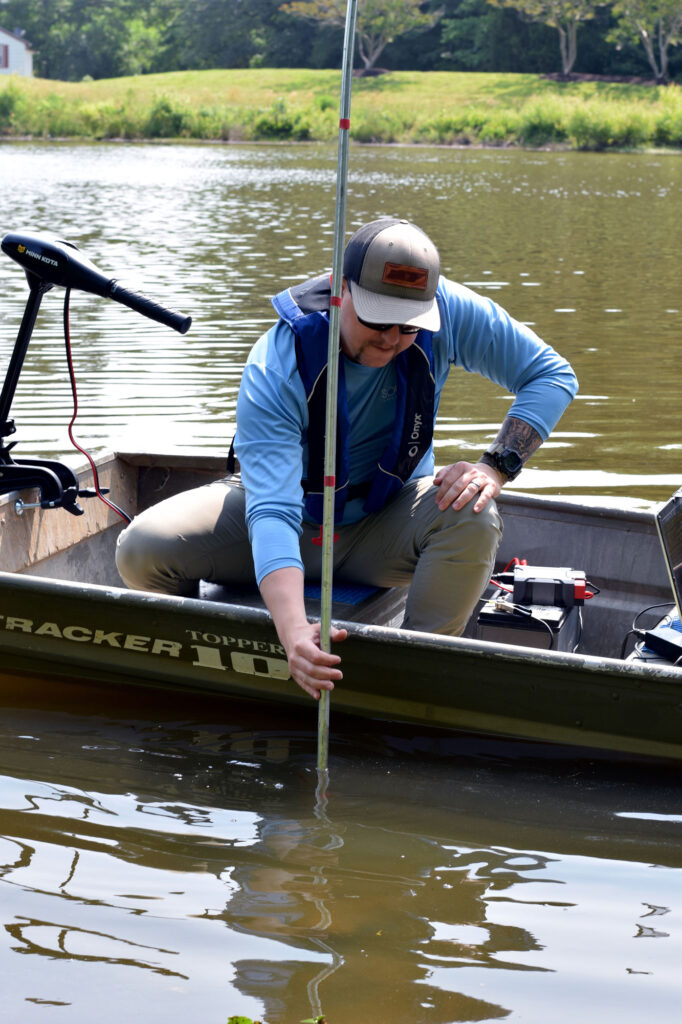
Sediment Analysis
Accumulation of sediment on the bottom of your lake or pond is inevitable. However, the rate at which it will accumulate is highly variable, and in many instances within the control of the lake or pond owner. To accurately determine this sediment accumulation in your waterbody, when it will need to be removed and the cost associated in doing so, bathymetry is a must. We recommend having a bathymetric study and sediment analysis performed every three to five years. Data collected will serve as a baseline for owners and lake managers to help establish an accurate budget and timetable for potential dredging projects.
Lake Mapping and Bathymetric Data can be utilized to:
- Develop programs to manage your aquatic vegetation or algae issues.
- Strategically place structural fish cover.
- Plan and budget for future sediment removal.
- Properly size and place aeration devices.
Detailed Maps Help Better Understand Your Aquatic Ecosystem
The maps provided by SOLitude Lake Management Company are for informational purposes only, designed to be used by our clients to evaluate their lakes and ponds to better understand the characteristics of these waterbodies and properly plan for achieving their management objectives. We are not licensed surveyors or engineers and our maps are not designed to delineate property lines or legal boundaries of any sort, nor should they be used for any purposes related to circumstances for which a licensed surveyor or engineer is required. For those clients whose work would legally require stamped drawings from licensed surveyors or engineers, we have strategic partnerships with survey and engineering firms with which we can work to help you meet your overall objectives.