


 If you own lake property, you may wonder why it’s important to have the area mapped with GPS lake mapping technology. After all, it’s just water, and perhaps it’s deepest in the middle and shallow around the edges. Is it really necessary to know exactly every spot of depth in the lake or pond?
If you plan to maintain a clean pond, free of toxins and obstacle, lake mapping definitely comes into play. If the lake is used for recreation especially, it’s imperative to know what lies underneath the surface so that maintenance efforts are always successful. Reasons to employ GPS mapping for your lakes include:
-
Determining high-volume fishing spots and areas of aquatic life
-
Spotting underwater obstructions and possible areas for installing underwater lights and pond aerators
-
Determining approaches to a dock area
-
Marking potential areas of danger for swimmers
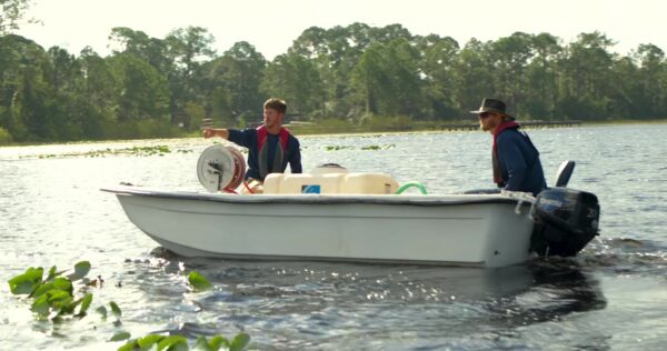
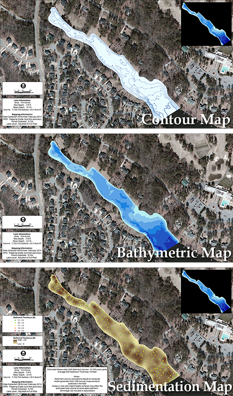
When you contact SOLitude Lake Management to handle your GPS lake mapping, we will assist in any and all lake monitoring, mapping of aquatic vegetation, and analysis of sedimentation for your lake and pond. No matter the size of your water property, we can provide 3-D contour imaging, fly-over video, and virtual 4-D mapping with underwater views.
Contact the experts at 888-480-5253 for all of your lake, pond and fisheries management needs.
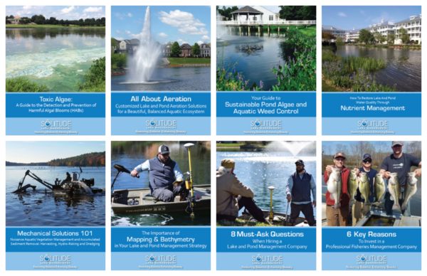
Since 1998, SOLitude Lake Management has been committed to providing full service lake and pond management services that improve water quality, preserve natural resources, and reduce our environmental footprint. Services are available throughout the Eastern United States. Fisheries management consulting and aquatic products are available nationwide. Learn more about SOLitude Lake Management and purchase products at www.solitudelakemanagement.com.