


5 Unique Ways to Utilize Bathymetric Lake Mapping Data
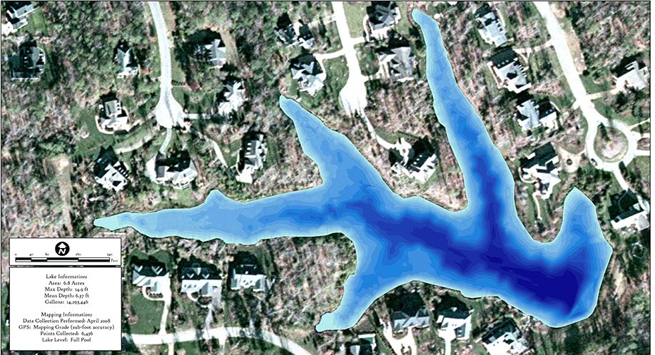
Have you ever wondered what the bottom of a waterbody truly looks like? With the proper training, equipment and access to modern technology, the accurate mapping of lakes, ponds, and reservoirs is a reality. Uncovering the mystery of ‘what lies below’ is an essential part of quality baseline data and an important tool in effective management. The true volume, depths, and contours of a waterbody is invaluable data that helps inform many freshwater management approaches. Here are the top five ways that professional lake mapping data can be utilized to help improve your freshwater management strategy:
1. Create Aquatic Vegetation Maps for Planning, Budgeting and Permitting
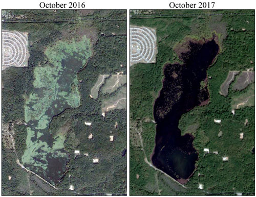
Sonar-based mapping technology has the capability of developing aquatic vegetation maps of a lake or pond. By mapping vegetation densities throughout the season and between years, aquatic biologists can determine the amount of overall plant coverage in a waterbody and can often deduce aquatic plant species based on seasonal variation. Lake mapping is also an important tool for largescale nuisance or invasive vegetation treatments. Vegetation maps are essential in the careful planning, budgeting, and permitting phases of these projects. Pre- and post-vegetation assessments can then be used to determine the effectiveness of the treatment solution and serve as a reference point for proactive management strategies.
2. Improve Fish Habitat with Lake Mapping
Mapping your lake or pond can help identify opportunities to enhance your fishery. Accurate depth and contour data showcase areas of adequate fish habitat, help reveal which species of sport fish are best suited to thrive in your lake, and assess the risk of seasonal fish kills. Additionally, a map of a lake informs the development of a comprehensive plan for additional fish habitat installation, including its design and position in the waterbody. These structures can either be artificial cover or natural materials such as trees and rocks.
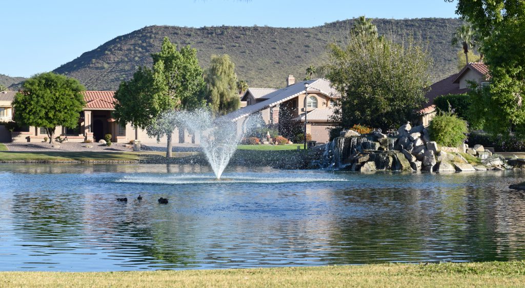
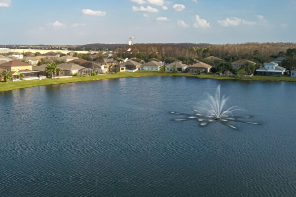
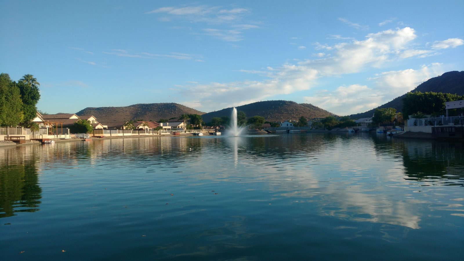
3. Find the Perfect Lake and Pond Aeration System Design and Placement
The proper design and installation of a lake and pond fountain or aeration system is a complex process that depends on each unique lake, pond, or reservoir’s physical characteristics. Possibly the most important factors in this process are the volume and contours of the waterbody. Choosing the most effective pond aeration system should be based on accurate volumetric data and provide adequate water column mixing to ensure water quality benefits occur. An accurate lake map gives the ability to install submersed aeration systems in the deepest areas of a lake, which will help maximize energy efficiency and efficacy in water treatment. Mapping your lake, pond, or reservoir is a great first step prior to investing in a fountain or aeration system to ensure optimal results are achieved and the most cost-effective option is chosen.
4. Utilize Lake Mapping in Water Resource Management
Bathymetric mapping provides the ability to identify the water volume of a resource at various depth stages. This knowledge is integral in the decision-making process for several water uses such as drinking water storage, fisheries management, navigation, recreation, irrigation, and water treatment. Lake mapping data is often referenced when issues or disputes arise over water storage rights and augmentation planning.
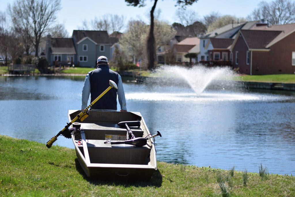
5. Map Sediment to Prepare for a Successful Dredging Project
Although dredging can be one of the most effective strategies in reclaiming and enhancing a lake or pond, it also requires a significant financial investment and often poses logistical challenges. Mapping your lake or pond allows the amount of sediment on the bottom of the water body to be calculated. This information on sediment volume is an integral step in the planning phase of a successful dredge project, as it allows clients to accurately budget for the project and determine logistics such as sediment disposal. A lake map will also locate where the sediment is most abundant and defines the areas in which dredging should be focused to maximize the project’s efficiency. Additionally, mapping your lake after the dredging has been completed will confirm the appropriate amount of sediment has been removed and provide information on the new bottom contours of the resource to aid in future management.
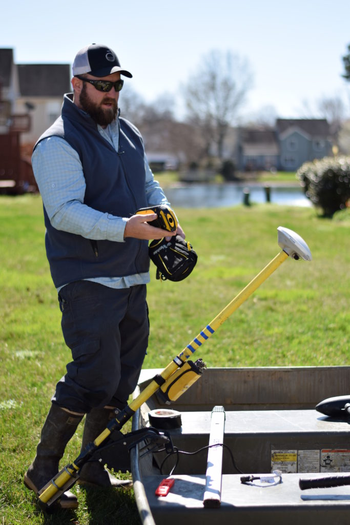
Reputable freshwater management firms utilize state-of-the-art sonar technology to map waterbodies across the country. Professional aquatic biologists can provide lake mapping services and use them to develop highly accurate topographic maps that aid in a variety of management decisions. We understand how valuable your precious water resources are and encourage you to consider the benefits of this essential tool in effective and sustainable water management.
SOLitude Lake Management is a nationwide environmental firm committed to providing sustainable solutions that improve water quality, enhance beauty, preserve natural resources and reduce our environmental footprint. SOLitude’s team of aquatic resource management professionals specializes in the development and execution of customized lake, stormwater pond, wetland and fisheries management programs that include water quality testing and restoration, nutrient remediation, algae and aquatic weed control, installation and maintenance of fountains and aeration systems, bathymetry, shoreline erosion restoration, mechanical harvesting and hydro-raking, lake vegetation studies, biological assessments, habitat evaluations, and invasive species management. Services and educational resources are available to clients nationwide, including homeowners associations, multi-family and apartment communities, golf courses, commercial developments, ranches, private landowners, reservoirs, recreational and public lakes, municipalities, drinking water authorities, parks, and state and federal agencies. SOLitude Lake Management is a proud member of the Rentokil Steritech family of companies in North America.