


Engineers Select Local Bathymetric Lake Mapping Expert
May 5th, 2010
Topics:
Lake Mapping and Bathymetry
Source: The Mapping Network
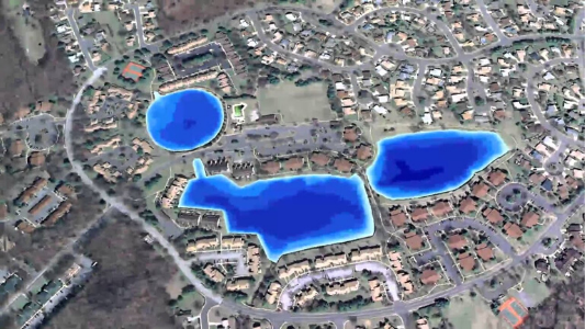
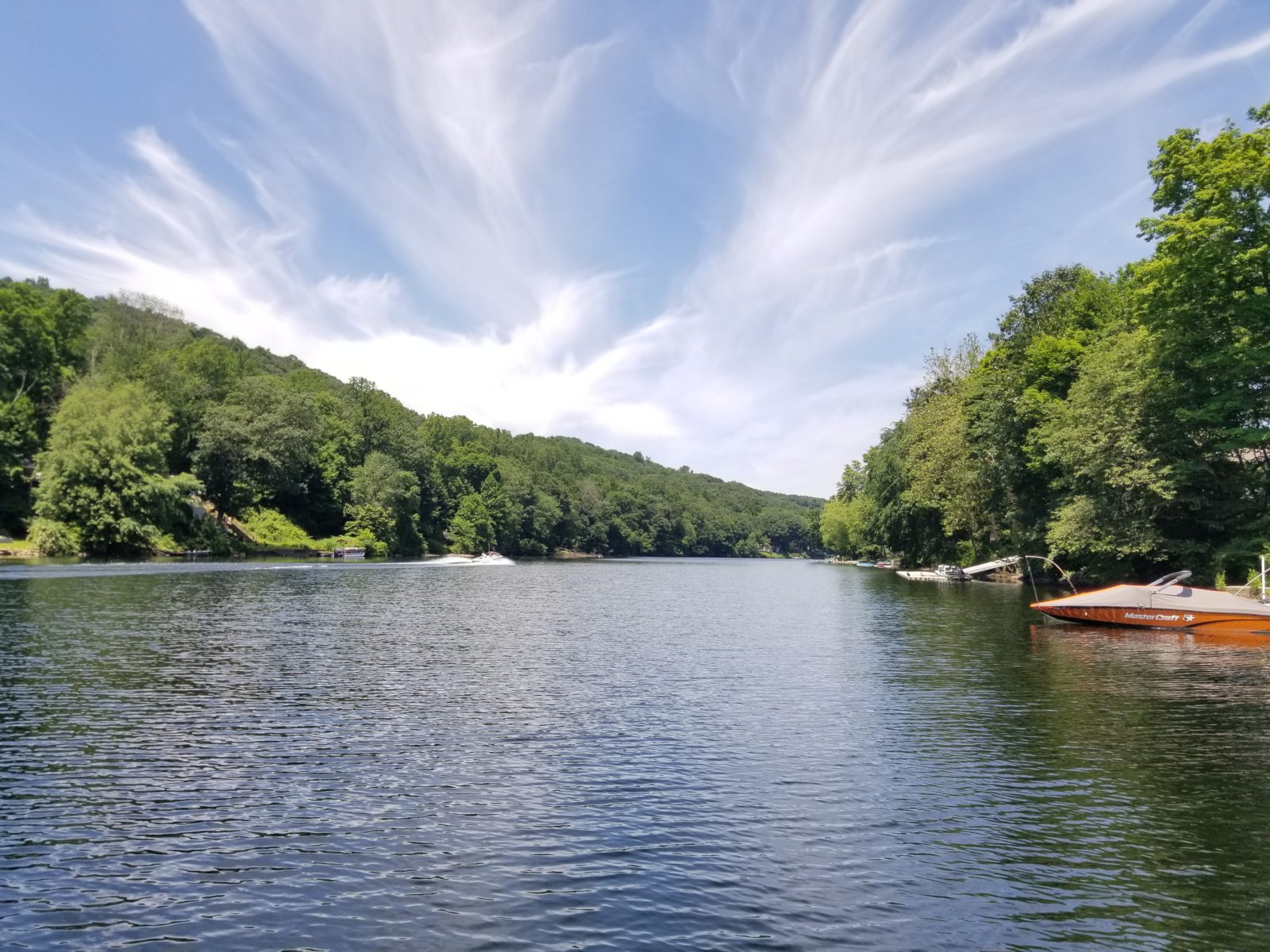
SOLitude Lake Management provided a bathymetric lake mapping for a lake in Virginia. Engineers recently performed a flood study on the dam and found the spillway insufficient. While preparing an engineering report to propose upgrade options the only bathymetric data available was hand collected in the 1950′s. As a local expert on bathymetric mapping, SOLitude Lake Management was able to conduct an accurate, up-to-date lake depth map for the engineer’s report. This will provide the precise lake depths needed to create the best dam upgrade options. In addition, the data will assist engineers in determining the amount of volume reduction achieved if the decision is made to lower the lake level a few feet.
Contact the experts at 888-480-5253 for all of your lake, pond and fisheries management needs. Since 1998, SOLitude Lake Management has been committed to providing full service lake and pond management services that improve water quality, preserve natural resources, and reduce our environmental footprint. Services are available throughout the Eastern United States. Fisheries management consulting and aquatic products are available nationwide. Learn more about SOLitude Lake Management and purchase products at www.solitudelakemanagement.com.